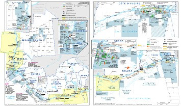
Revised for the African Energy Atlas 2016/2017, this map (originally published across two A4 pages) provides an overview of oil and gas exploration and production in West Africa from Mauritania to Benin - Nigeria is not included.
Open and licensed acreage is shown, with block operators marked, alongside associated downstream infrastructure such as pipelines (including WAGP), planned LNG import and regasification terminals, gas processing facilities, refineries and tanker terminals.
Inset maps provide greater detail for Ghana, Côte d'Ivoire, Benin, Mauritania, and Senegal
The map is a PDF file, made using eps graphics, meaning there is no loss of resolution as the file is enlarged.
Single African Energy map
£895
(1 standard map)
Subscribe to African Energy
African Energy is a brand of


