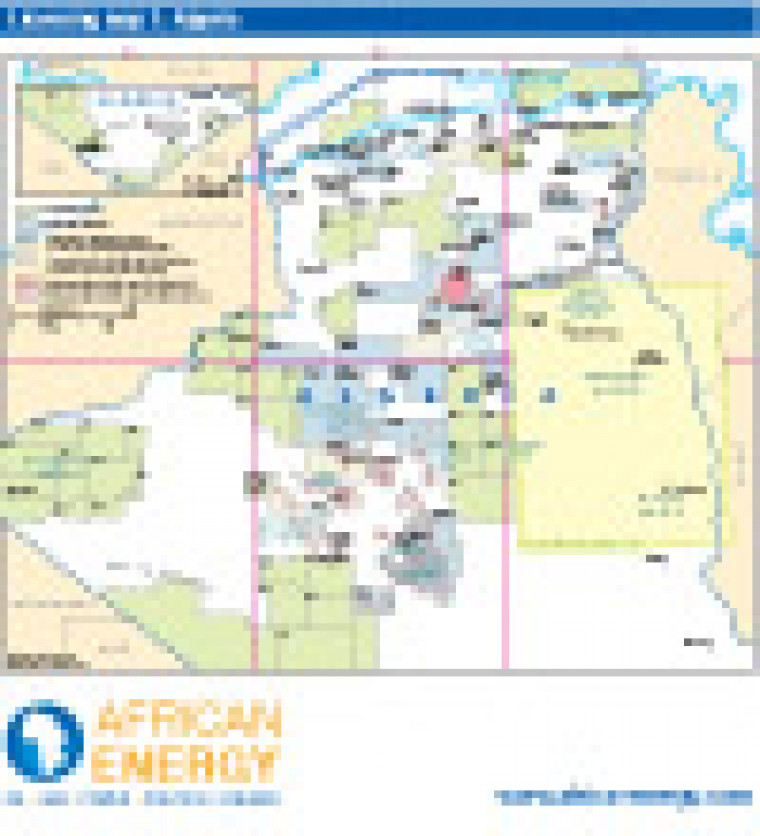
Published in April 2011, as part of the Algeria's Energy Future special report, this map provides an overview of open and licensed acreage in Algeria, including offshore Mediterranean, Tel Basin, Oued Mya Basin, Reggane Basin and Tindouf Basin. Licensing in South east Algeria is shown on a separate map: Licensing map 2: South-east Algeria. Prospection areas, exploration licences, and development and production permits are shown. Block names are marked.
Single African Energy map
£895
(1 standard map)
Subscribe to African Energy
African Energy is a brand of


