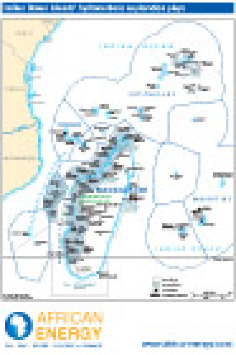

First published in November 2011, this map shows oil and gas exploration areas around Comoros, Madagascar, Mauritius, Reunion, and Seychelles. Detail on the map includes the location of oil tanker terminals, and the names of block operators offshore Madagascar and Seychelles.
Single African Energy map
£895
(1 standard map)
Subscribe to African Energy