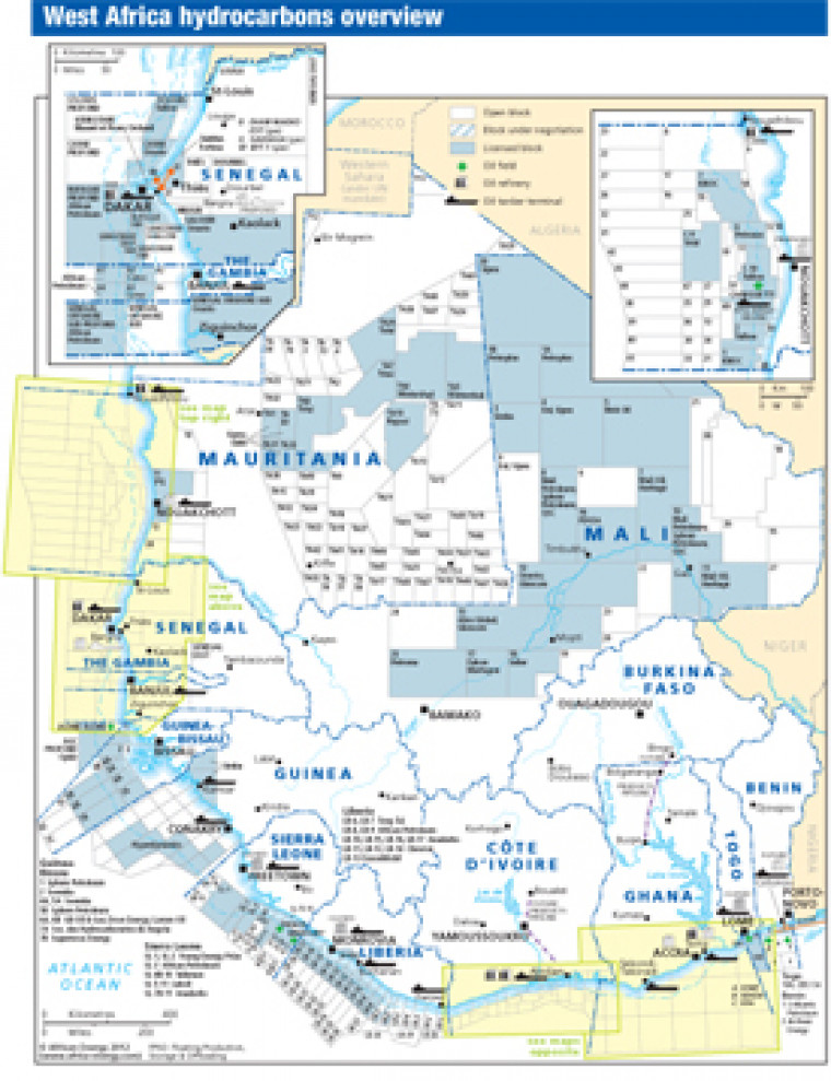
Published in April 2012 as part of the African Energy Atlas 2012, this map provides an overview of licensed an open acreage in West Africa. Block names and operators are shown for Senegal, Gambia, Mauritania, Guinea, Guinea-Bissau, Sierra Leone, Liberia, Benin, Togo and Mali. The map was originally published alongside another map showing detail of Cote d'Ivoire, and Ghana.
Single African Energy map
£895
(1 standard map)
Subscribe to African Energy
African Energy is a brand of


