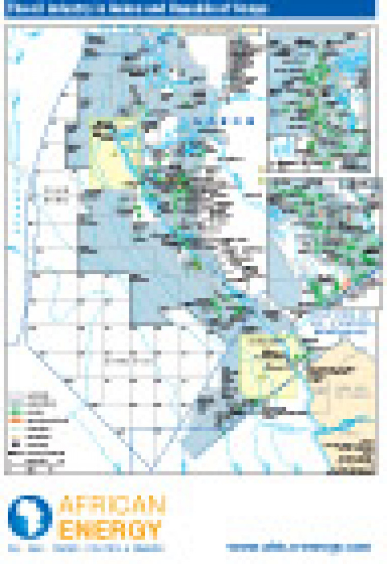
Published in January 2011 as part of the African Energy Atlas 2011, this map gives an overview of the onshore and offshore oil industries in Gabon and Republic Of Congo. Detail includes open and licensed acreage, with major fields and pipelines networks shown. Block names and operators are marked. Two inset maps show greater detail of fields and infrastructure offshore Port Gentil and Pointe-Noire.
Single African Energy map
£895
(1 standard map)
Subscribe to African Energy
African Energy is a brand of


