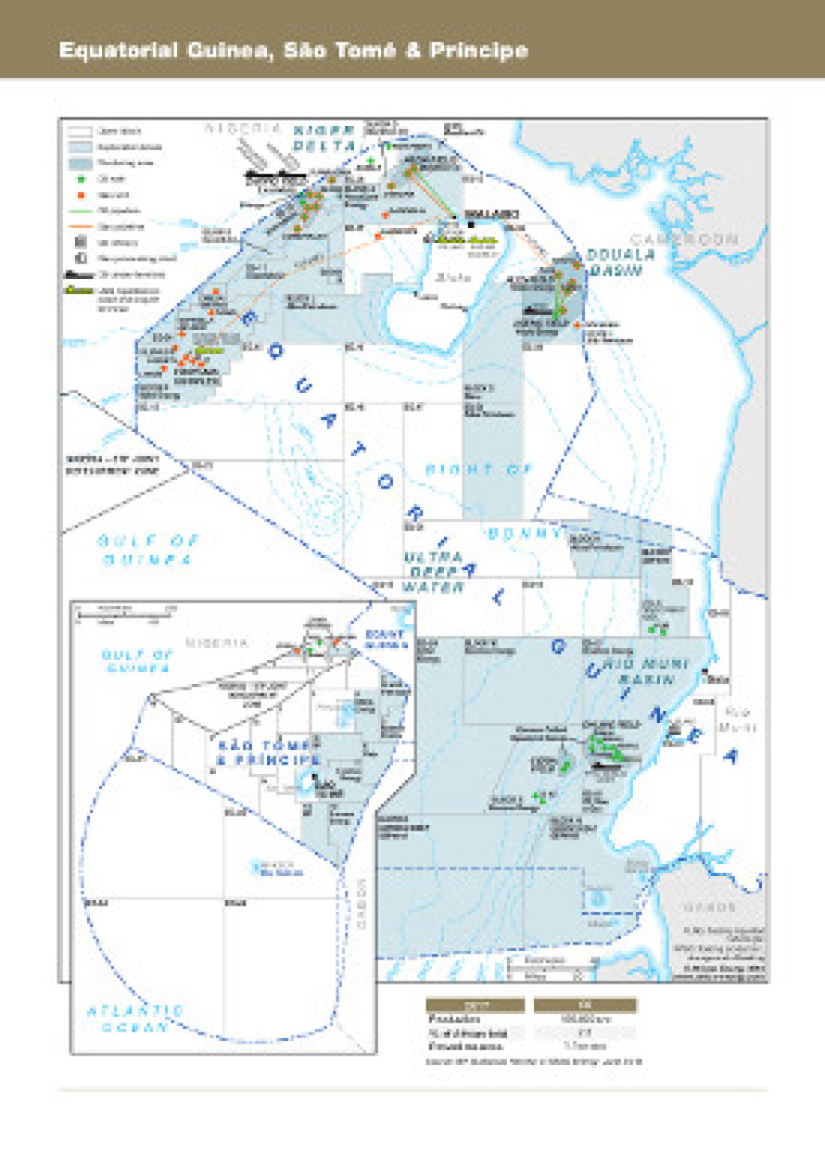
Revised in August 2018, this map provides a detailed overview of oil and gas infrastructure in Equatorial Guinea, São Tomé & Príncipe.
Open, exploration and production blocks are shown as well as their operators. Oil and gas wells and pipelines are also shown, as well as other downstream infrastructure such as, refineries, plants, LNG liquification and oil tanker terminals.
The map was originally published as part of the African Energy Atlas 2018/2019 and is available as a PDF file using eps graphics, meaning that there is no loss of resolution as the file is enlarged.
Single African Energy map
£895
(1 standard map)
Subscribe to African Energy
African Energy is a brand of


