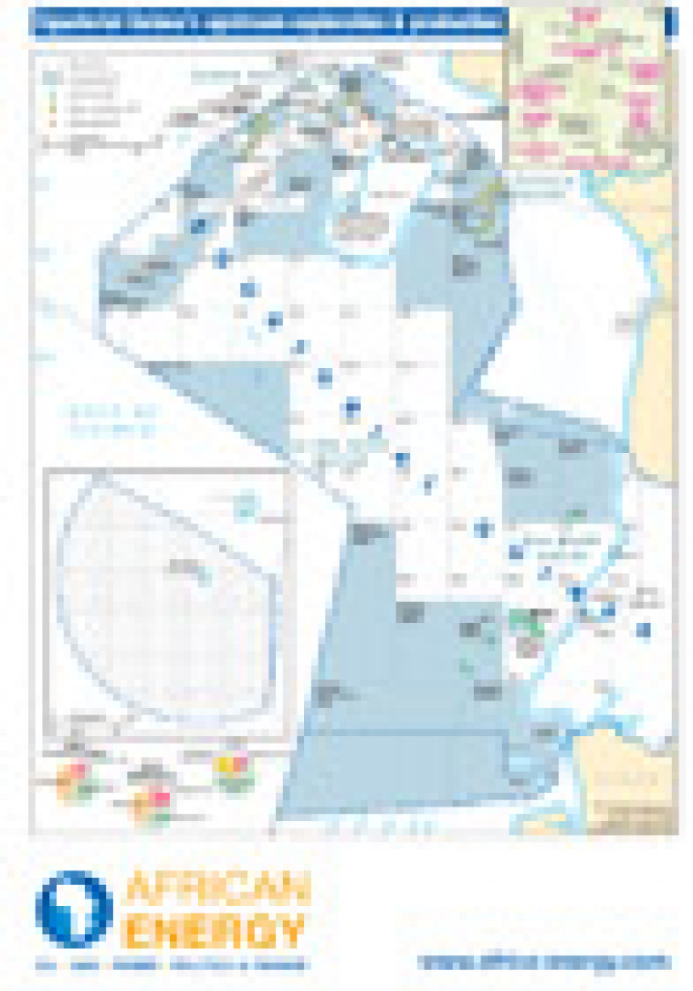
Published in January 2011 as part of the African Energy Atlas 2011, this map provides an overview of Equatorial Guinea's exploration and production infrastructure. Detail includes open and licensed acreage. Block names and operators are marked.
Single African Energy map
£895
(1 standard map)
Subscribe to African Energy
African Energy is a brand of


