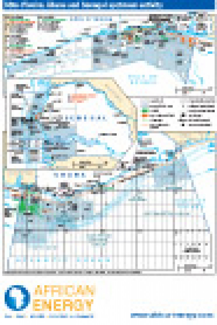
Published in January 2011 as part of the African Energy Atlas 2011, this map provides a snapshot of upstream activity in Côte d’Ivoire, Ghana and Senegal. Open and licensed acreage is show along with block names and operators. Detail includes the position of major oil and gas fields in Cote d'Ivoire and Ghana, plus the route of the West African Gas pipelines and possibly extension. The map was originally published alongside a regional West Africa overview map: West Africa’s exploration and production frontiers
Single African Energy map
£895
(1 standard map)
Subscribe to African Energy
African Energy is a brand of


