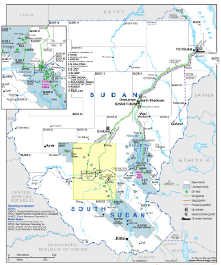
Updated in October 2020 this map provides a detailed overview of the hydrocarbons sector in Sudan and South Sudan.
Open and licensed acreage is shown, with block operators and oil fields marked, alongside associated downstream infrastructure such as oil and gas pipelines, tanker terminals, refineries and gas processing plants.
An inset shows in greater detail the Muglad Basin region, which straddles the border between Sudan and South Sudan.
The map is available as a PDF file using eps graphics, meaning that there is no loss of resolution as the file is enlarged.
Single African Energy map
£895
(1 standard map)
Subscribe to African Energy
African Energy is a brand of


